
There was flood damage, but Thetford dodged a major bullet
At its height, the water behind Union Village dam was at 97.07 feet.
July has spelled danger to Thetford in the past. Back in 2017, we received a massive deluge that tore out roads and culverts across town. And the town rebuilt wisely. Many culverts were up-sized, and major drainage works — for instance, on Turnpike Road and Stevens Road — were designed with a mega storm in mind.
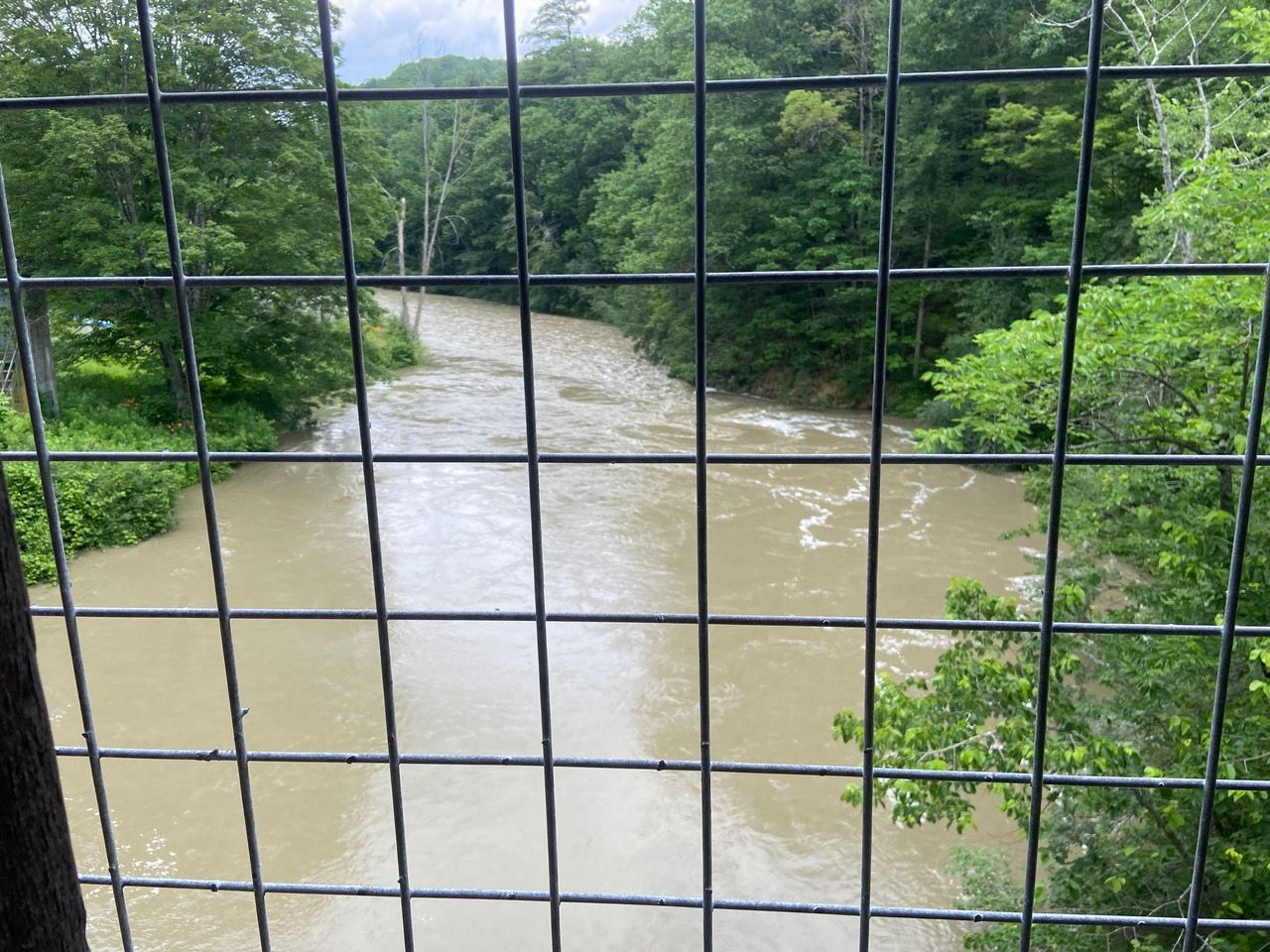
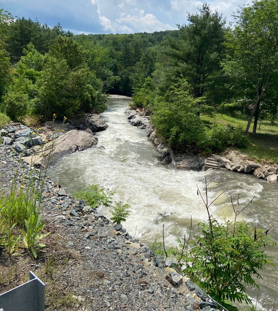
Fast forward to July of this year, and these systems were put to the test. While we didn’t receive a big swift dump, there was prolonged rain ranging from downpours to showers falling on already saturated ground. The National Weather Service reported 3.7 inches of rain at the Union Village Dam weather station between July 7 and 13th while a resident’s rain gauge in the hills (Poor Farm Road) recorded 5.2 inches over that same time period. At higher elevations in Vershire, floods were washing out roads.
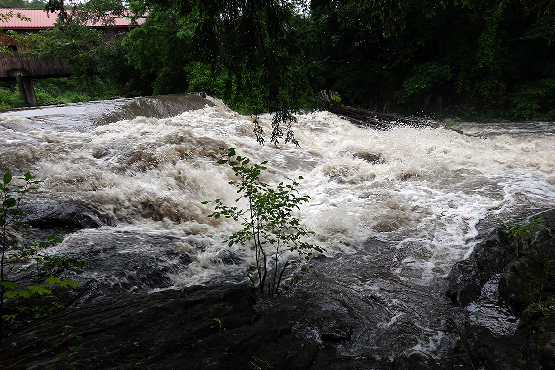
Already swollen with the runoff from the week before, the Ompompanoosuc River became an angry, coffee-colored torrent. Director of Emergency Services Mariah Whitcomb followed its progress.
On July 9th she posted a message to town emergency services and government officials: “Rain totals for central Vermont and Orange county are hovering at approximately 5 inches for a 24-hour period. The State USAR (Urban Search and Rescue) team is beginning to roster water rescue personnel to deploy in various areas around the state in preparation for possible mud and rock slides, flash flooding issues, etc. Flash flooding is likely in a number of areas with any elevation due to the already saturated ground and the predicted amount of rain. … I am preparing for significant issues and hoping the prep (to set up the Emergency Operations Center) is not necessary.”
On the morning of July 10th, Mariah made an update: “A number of roads in the Ludlow, Mt Holly and Winhall areas of Vermont have sustained damage and are closed. Roads in Killington and Bridgewater, VT, remain closed … there are flash flood warnings in the northern part of the state as well as in the Barre area …”
Later that morning: “The Governor noted this is like the issues we experienced from Hurricane Irene, times 4 … The rain is not predicted to let up and we need to be looking ahead a day or so to consider how to respond. … If we get 3 additional inches of rain today or significant localized downpours, we can be looking at issues with water running from any area with slope impacting our roads. The Army Corps has closed their flood control gates this morning and we expect rapid water rise in the dam area …”
By the afternoon: “Route 132 at Furnace Flat road in Strafford is now closed due to the brook that runs into the river there over-running the road ... we now have several reports (in Thetford) of smaller roads beginning to have issues as culverts are overloaded … I will share with you all that this is unprecedented flooding for Vermont. It is worsening by the minute in the Southern region with multiple rescues being affected as I write this.”
By 7:05 pm Monday night: “… we are issuing an evacuation order for Route 132 from Tucker Hill to the Strafford town line. The water is worse than from Hurricane Irene and conditions are rapidly deteriorating. … At this point, I am working on finding a location to put folks.”
By 11:27 pm Monday: “We will evaluate Route 132 in the morning as well to hopefully lift the evacuation order. The shelter has been closed for the night as there was no request for it from community members.”
On Tuesday, the 11th, at 6:30 am: “… we have determined that the water has receded enough to lift the evacuation recommendation for that area. There are areas of the road near Miller Pond road that will need attention by DPW this morning as the guardrail posts are hanging in the air with the road material washed away, but Dale is aware and his crew will evaluate it and determine what we need to do to open the road again to thru traffic. His crew will also be taking pictures and evaluating the other trouble spots we identified last night:
“1. New Boston Road at Judd Road
2. 5 Corners Road, part of the road is washed out
3. Bottom of Teft Road — washouts at the entrance
4. Phelps Road — water over road — washouts
5. Ulman Road at Route 132 — washouts
6. West Fairlee Road from Route 113 to number 734. Water is completely covering the road.”
On Wednesday, July 12th, 7:36 am: “I am happy to let you all know that all roads in Thetford are open. Some are 1 lane only in places, but our community has access both in and out of their residences and emergency services also have access. Dale and his (road) crew are continuing with repairs and doing a fantastic job.
“… There is a 30% chance of 2 additional inches of rain falling on our area tomorrow through Friday. If that occurs, it is predicted that our streams can handle the extra rainfall, but some slopes that are already saturated or destabilized may experience some issues. It is only a 30% chance, but important to be aware of.
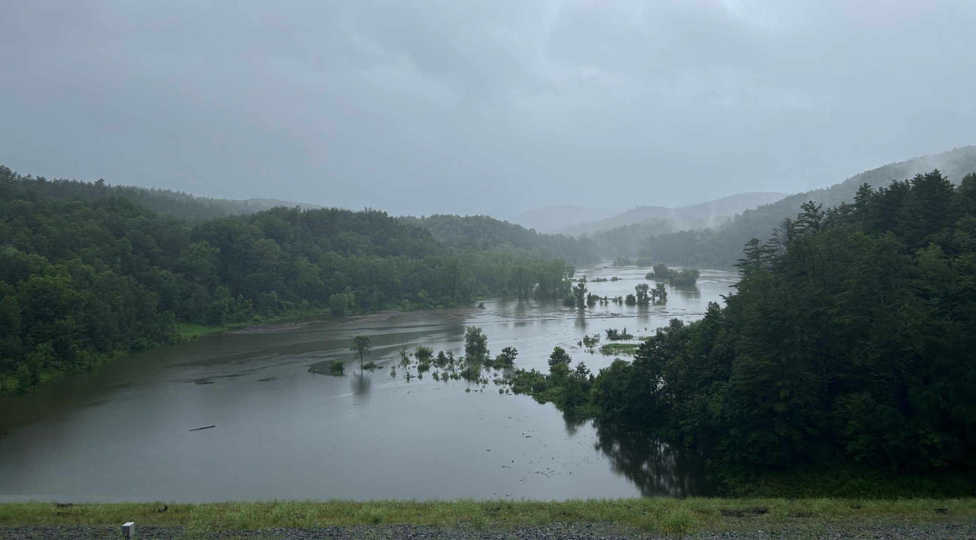
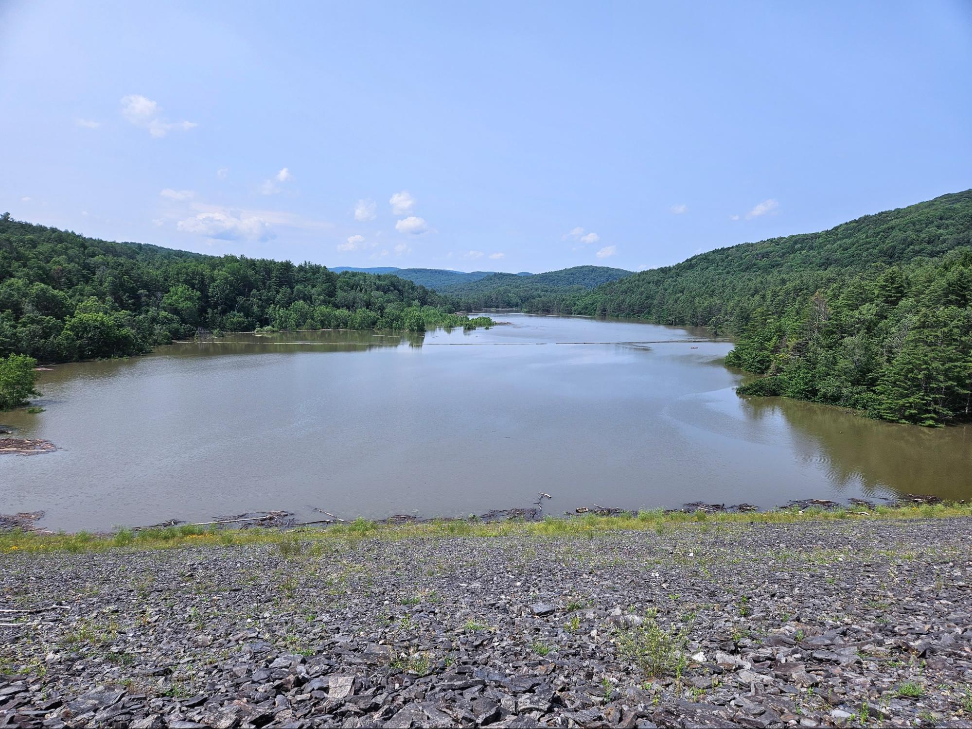
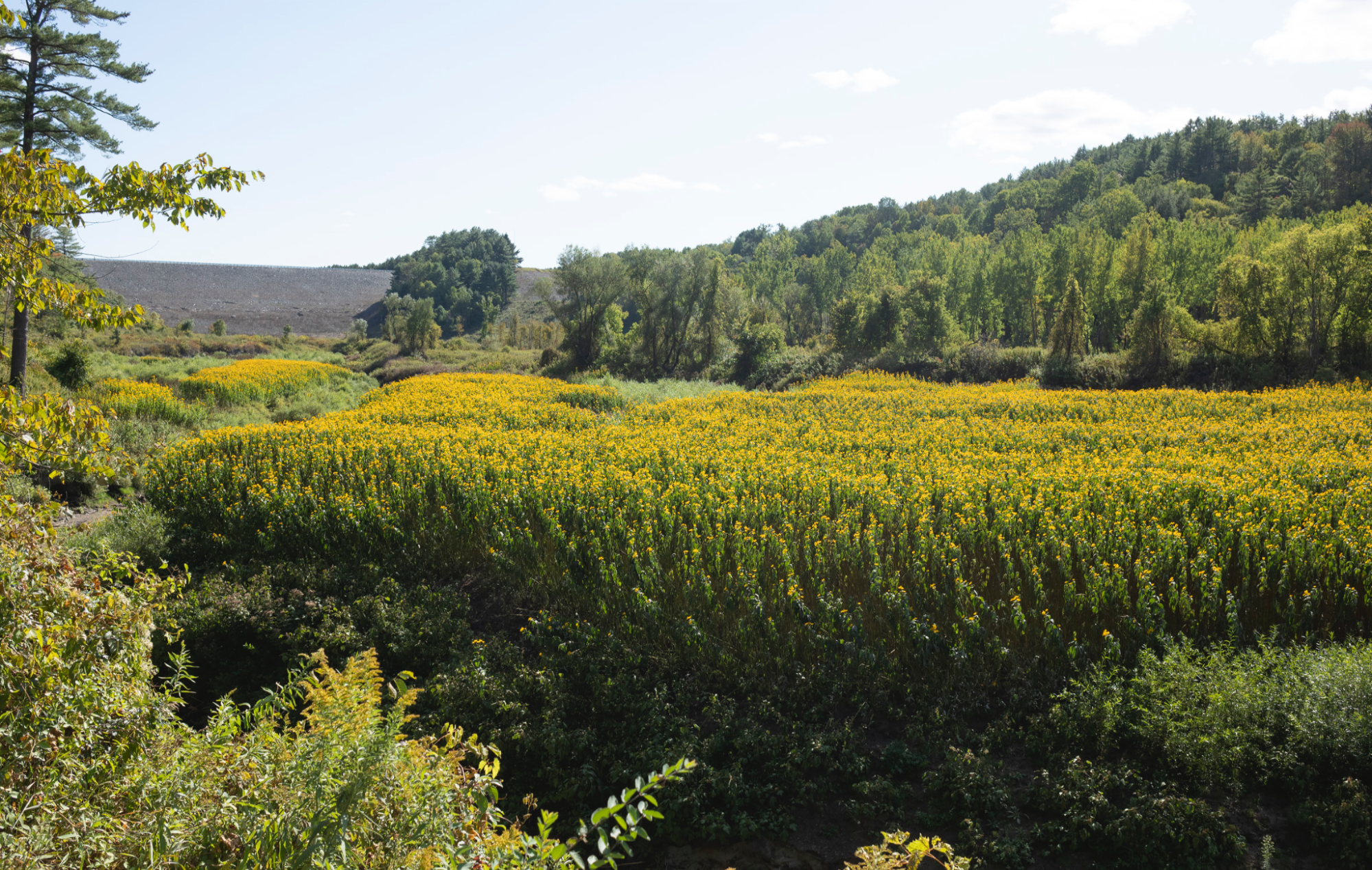
“The Union Village dam level is at 96.5 feet. The water will not be an issue unless we reach 150 feet. It is impressive right now though.”
At its height, the water behind the dam was at 97.07 feet.
On Thursday July 13th an additional 0.6 inches of rain was noted at the Poor Farm Rd rain gauge.
We were very fortunately spared the horrendous damage endured by Calais, VT (9 inches of rain), Montpelier (3-4 feet of water in downtown streets and businesses), Ludlow where a landslide occurred, and the other communities in the north-south belt down the state that received 8 inches of rain.
We express our heartfelt gratitude to Mariah Whitcomb, the Thetford Volunteer Fire Department, Dale Lewis and the Thetford Department of Public Works, our new Town Manager Brian Story, Town Clerk Tracy Borst, and the numerous volunteers who all contributed to watching over our community and assessing and repairing the damage.
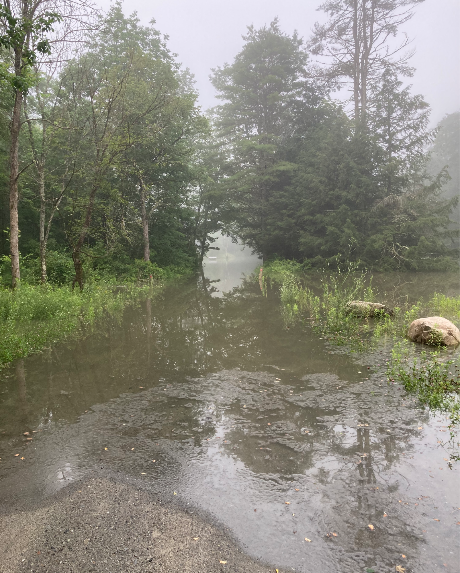
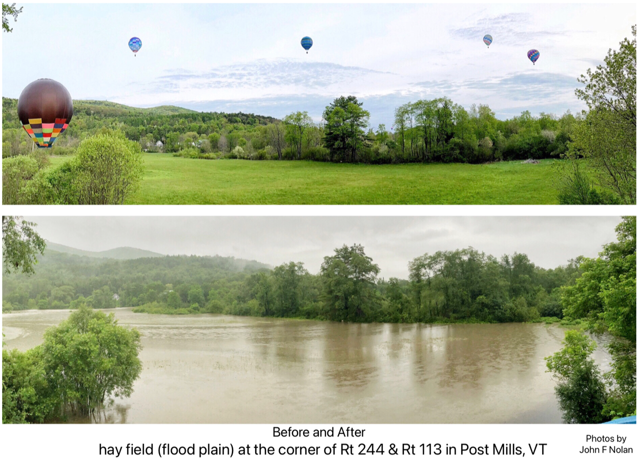
And many thanks to the residents who sent photos. We have tried to represent all the different views of the flooding that we received.